Collecting River System Model
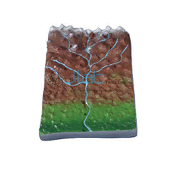
Product Code : JA-ERAM-4400
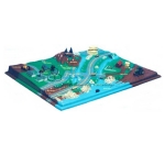
The Collecting River System Model (SKU JA-ERAM-4400) is a geography model of the headwater stage of a river, where a network of tributaries gathers water and sediment from the upland catchment. It shows the landforms associated with this collecting system: V-shaped valleys, interlocking spurs, rapids, waterfalls and gorges. JaincoLab makes this river system model for school geography rooms and college earth science teaching, alongside the transporting river system model.
Specifications
The model represents the collecting (headwater) river system and its landforms, as listed below; size, material, base and colouring are not stated in the listing and are confirmed on the quotation.
| Product | Collecting River System Model |
| SKU | JA-ERAM-4400 |
| Type | Landform model, collecting river system |
| Region shown | Headwater region with a network of tributaries |
| Features shown | V-shaped valleys, interlocking spurs, rapids, waterfalls, gorges |
Applications of the collecting river system model
The model is used to teach the upper course of a river, where steep slopes and fast-flowing water cut down into the land and create V-shaped valleys, interlocking spurs, rapids, waterfalls and gorges.
- River landform lessons in school geography
- Upper course of a river in physical geography courses
- Comparing the collecting and transporting stages of a river system
- Geography room and exhibition displays
Scope of supply and ordering
The listing covers one collecting river system model. Size, material, base, colouring and any labelling are confirmed on the quotation. Accessories, spares and quantities are confirmed on the quotation.
Minimum order quantity, lead time and packing are confirmed on each quotation for the number of models and the delivery destination. Single models for schools and bulk quantities for colleges, education departments and tenders are supplied.
Frequently asked questions
Which landforms does the model show?
V-shaped valleys, interlocking spurs, rapids, waterfalls and gorges in the headwater region of a river.
What is a collecting river system?
The headwater part of a river, where a network of tributaries collects water and sediment before the main stream carries it downstream.
What size is the model?
The size, material and base are not stated in the listing and are confirmed on the quotation.
Related products
- Transporting River System Model
- River Meander and Ox Bow Lake Model
- Valley Model
- River in Action 3D Model
This model is listed in the JaincoLab earth science models range.
Request a quote
To order the Collecting River System Model, send the number of models and delivery destination through the JaincoLab contact page or email [email protected], quoting SKU JA-ERAM-4400. For tender or project supply, see our tenders page.