
Asia Political Chart
Product Code : JA-MC-3298
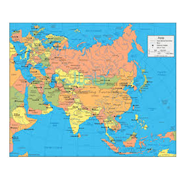
JaincoLab's Asia Political Chart (SKU JA-MC-3298) presents the map of Asia as a single large wall chart for school geography classes. A political map shows countries and their boundaries, and this wall chart covers Asia for geography lessons. It is laminated, so it can stay on display through the teaching year.
Specifications
This chart is a 70 x 100 cm sheet laminated, and the table below gives the listed values for SKU JA-MC-3298.
| Product | Asia Political Chart |
| SKU | JA-MC-3298 |
| Size | 70 x 100 cm |
| Lamination | Laminated |
| Language versions | English only or Hindi only (separate versions) |
| Chart series | Maps Charts |
Applications of the Asia Political map chart
- Locating the countries of Asia
- Atlas work alongside the wall map
Scope of supply and ordering
Each unit is a single printed chart on the map of Asia. The quotation confirms the quantity, how the charts are packed and when they can be dispatched.
Frequently asked questions
Which language versions of the Asia Political Chart are available?
It is listed in an English-only version and a Hindi-only version; state the one needed when ordering.
What size is the Asia Political Chart?
It measures 70 x 100 cm and is laminated.
Related products
See the complete Maps Charts range for other titles in this series.
Request a quote
To request a quotation for the Asia Political Chart (SKU JA-MC-3298), use the JaincoLab contact page and state the number of charts needed. Buying under a laboratory tender? Use our tenders page.


